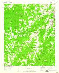
1958 Map of Haleyville West
USGS Topo · Published 1960About this map
Haleyville serves as the primary eastern hub in this late-1950s landscape, where the Marion Co Winston Co line bisects the growing town and its southern extension at South Haleyville. The rugged terrain of the western Cumberland Plateau is defined by a dense network of watercourses, including the Buttahatchee River and Kelly Mill Creek, which wind through the William B Bankhead National Forest. This era shows a community rooted in local institutions, evidenced by the numerous country churches like Thorn Hill Ch and Trinity Ch.
Find a feature on this map
48 named features on this map. Tap any name to fly to it.
Don’t see what you’re looking for? This feature index may not catch every label — zoom into the map to look around manually.
Map Details
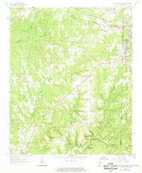
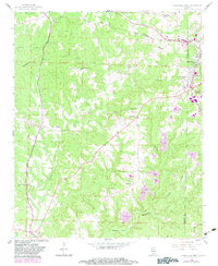
Editions of this 1958 Haleyville West Map
3 editions found
Other maps of this area

1936 · Delmar
USGS Topo · 1:24,000

1936 · Kinlock Spring
USGS Topo · 1:24,000

1936 · Phil Campbell
USGS Topo · 1:24,000

1936 · South Of Hackleburg
USGS Topo · 1:24,000

1936 · Hackleburg
USGS Topo · 1:24,000

1936 · Goddard
USGS Topo · 1:24,000

1946 · Hackleburg
USGS Topo · 1:24,000

1946 · Phil Campbell
USGS Topo · 1:24,000

1947 · Phil Campbell
USGS Topo · 1:24,000

1947 · Kinlock Spring
USGS Topo · 1:24,000