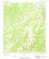
1958 Map of Haleyville West
USGS Topo · Published 1969About this map
Haleyville and South Haleyville anchor the eastern edge of this landscape where the Southern and Central railroads intersect, marking a vital transit point in the Winston and Marion County borderlands. The terrain is defined by a significant Divide, with water flowing north toward the Tennessee Valley and south via the Buttahatchee River and its numerous tributaries like Clifty Creek and Mulberry Branch. Much of the southeastern portion of the map is dedicated to the William B Bankhead National Forest, reflecting the era's focus on federal land management and timber conservation.
Find a feature on this map
46 named features on this map. Tap any name to fly to it.
Don’t see what you’re looking for? This feature index may not catch every label — zoom into the map to look around manually.
Map Details
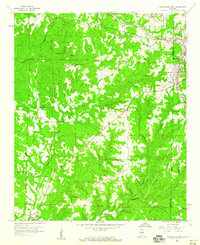
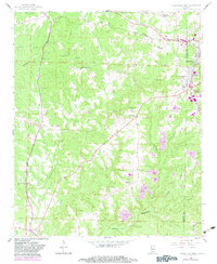
Editions of this 1958 Haleyville West Map
3 editions found
Other maps of this area

1936 · Delmar
USGS Topo · 1:24,000

1936 · Kinlock Spring
USGS Topo · 1:24,000

1936 · Phil Campbell
USGS Topo · 1:24,000

1936 · South Of Hackleburg
USGS Topo · 1:24,000

1936 · Hackleburg
USGS Topo · 1:24,000

1936 · Goddard
USGS Topo · 1:24,000

1946 · Hackleburg
USGS Topo · 1:24,000

1946 · Phil Campbell
USGS Topo · 1:24,000

1947 · Phil Campbell
USGS Topo · 1:24,000

1947 · Kinlock Spring
USGS Topo · 1:24,000