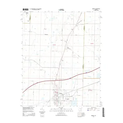
2014 Map of Brinkley
USGS Topo · Published 2014About this map
Brinkley serves as the focal point of this Eastern Arkansas landscape, situated at a crossroads of regional transportation and drainage. The town's grid is dense with local history, including several burial grounds like Oaklawn Cem and Haven Rest Cem, as well as the Frank Federer Memorial Airport. To the north, smaller settlements such as Fargo, Zent, and Saulsburg are scattered among a complex network of waterways. Significant features include the slow-moving waters of Bayou De View and Maple Slough, along with several oxbow-style lakes like Big Cotton Lake and Mill Lake.
Find a feature on this map
99 named features on this map. Tap any name to fly to it.
Don’t see what you’re looking for? This feature index may not catch every label — zoom into the map to look around manually.
Map Details
Editions of this 2014 Brinkley Map
This is the sole edition of this map. No revisions or reprints were ever made.
Other maps of this area

1935 · Gregory
USGS Topo · 1:62,500

1939 · Hunter
USGS Topo · 1:62,500

1940 · Brinkley
USGS Topo · 1:62,500

1941 · De Valls Bluff
USGS Topo · 1:62,500

1948 · Helena
USGS Topo · 1:250,000

1950 · Helena
USGS Topo · 1:250,000

1953 · Memphis
USGS Topo · 1:250,000

1955 · Helena
USGS Topo · 1:250,000

1956 · Memphis
USGS Topo · 1:250,000

1956 · Hunter
USGS Topo · 1:62,500