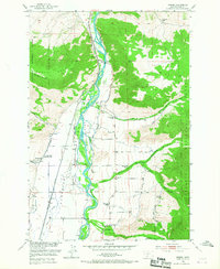
1951 Map of Brisbin
USGS Topo · Published 1967About this map
Paradise Valley is defined by the braiding channels of the Yellowstone River as it flows between the steep slopes of the Gallatin National Forest. This mid-century survey illustrates a landscape where early settlement patterns are anchored by the Northern Pacific railroad, which runs parallel to the river. Small social and educational hubs are distributed throughout the valley floor, including Richland Sch, Deep Creek School, and Pine Creek School, serving the scattered ranches and communities like Brisbin and Allens Spur.
Find a feature on this map
33 named features on this map. Tap any name to fly to it.
Don’t see what you’re looking for? This feature index may not catch every label — zoom into the map to look around manually.
Map Details
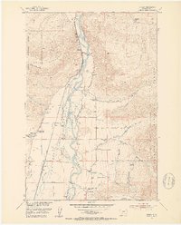
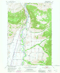
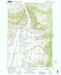
Editions of this 1951 Brisbin Map
5 editions found
Other maps of this area

1891 · Livingston
USGS Topo · 1:250,000

1893 · Livingston
USGS Topo · 1:250,000

1940 · Mt. Cowen
USGS Topo · 1:62,500

1943 · Mt Cowen
USGS Topo · 1:62,500

1947 · Bozeman
USGS Topo · 1:250,000

1948 · Bozeman
USGS Topo · 1:250,000

1951 · Brisbin
USGS Topo · 1:24,000

1951 · Hoppers
USGS Topo · 1:24,000

1951 · Livingston Peak
USGS Topo · 1:24,000

1951 · Chimney Rock
USGS Topo · 1:24,000