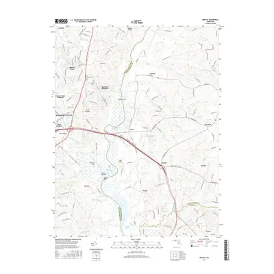
2016 Map of Bristol
USGS Topo · Published 2016About this map
Upper Marlboro and the surrounding riverine landscape define this area of the coastal plain where the Western Br Patuxent River meets the main channel. The geography is dominated by the tidal influences of Jug Bay, creating a complex network of wetlands and marshes such as Reed Marsh and House Creek. Historical landing points and river-oriented settlements are prominent, including the area around Mount Calvert and the elevated ground of Billingsley Point. The transition from the developed hubs of Marlboro Village and Marlboro Meadows to the rural stretches near Pindell and Chaney illustrates the enduring importance of the Patuxent's topography. Notable local features like Spyglass Island and Pig Point serve as distinct landmarks within the river's meandering path, while the various branches—Hardwick Br, Lyons Cr, and Cabin Br—drain the surrounding fields and woodlands of Prince George's and Anne Arundel counties.
Find a feature on this map
147 named features on this map. Tap any name to fly to it.
Don’t see what you’re looking for? This feature index may not catch every label — zoom into the map to look around manually.
Map Details
Editions of this 2016 Bristol Map
This is the sole edition of this map. No revisions or reprints were ever made.
Other maps of this area

1892 · Prince Frederick
USGS Topo · 1:62,500

1892 · Brandywine
USGS Topo · 1:62,500

1892 · Owensville
USGS Topo · 1:62,500

1895 · Prince Frederick
USGS Topo · 1:62,500

1895 · Brandywine
USGS Topo · 1:62,500

1895 · Owensville
USGS Topo · 1:62,500

1899 · Patuxent
USGS Topo · 1:125,000

1900 · Washington
USGS Topo · 1:62,500

1901 · Prince Frederick
USGS Topo · 1:62,500

1905 · Owensville
USGS Topo · 1:62,500