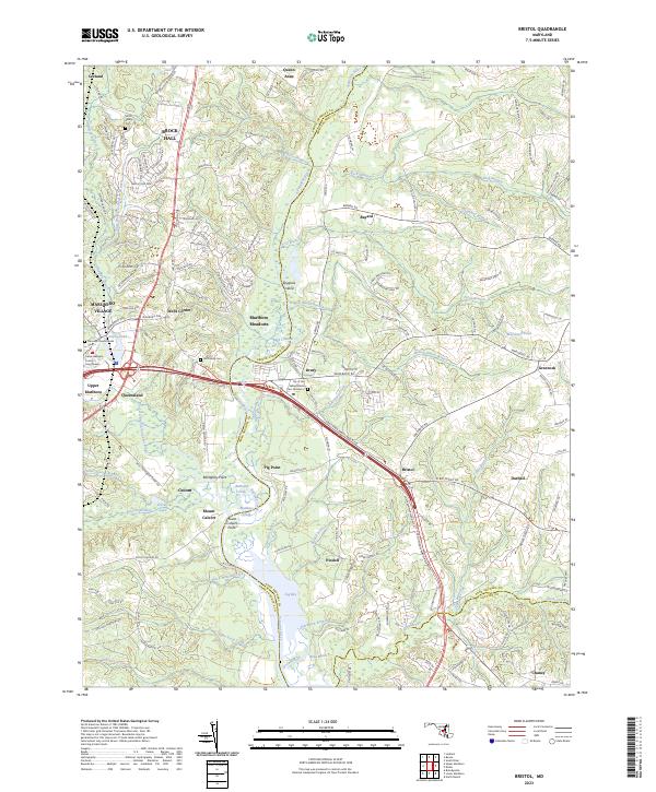
2023 Map of Bristol
USGS Topo · Published 2023About this map
The Patuxent River corridor defines this landscape where Prince George's and Anne Arundel counties meet. Modern infrastructure and residential expansion in Brock Hall and Marlboro Village contrast with the significant local-history landmarks preserved near the water. For genealogists and researchers, the map identifies several smaller burial sites including the Smith Family Cem and the Lily of the Valley Moses Cem Number 2, alongside the Darnalls Chance Burial Vault. The river geography is complex, featuring Jug Bay, Spyglass Island, and the historic Mount Calvert site, illustrating how the river's winding course and wetlands like Reed Marsh have influenced the settlement patterns of towns like Bristol and Upper Marlboro.
Find a feature on this map
167 named features on this map. Tap any name to fly to it.
Don’t see what you’re looking for? This feature index may not catch every label — zoom into the map to look around manually.
Map Details
Editions of this 2023 Bristol Map
This is the sole edition of this map. No revisions or reprints were ever made.
Other maps of this area

1892 · Prince Frederick
USGS Topo · 1:62,500

1892 · Brandywine
USGS Topo · 1:62,500

1892 · Owensville
USGS Topo · 1:62,500

1895 · Prince Frederick
USGS Topo · 1:62,500

1895 · Brandywine
USGS Topo · 1:62,500

1895 · Owensville
USGS Topo · 1:62,500

1899 · Patuxent
USGS Topo · 1:125,000

1900 · Washington
USGS Topo · 1:62,500

1901 · Prince Frederick
USGS Topo · 1:62,500

1905 · Owensville
USGS Topo · 1:62,500