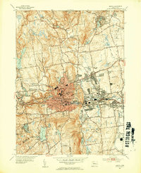
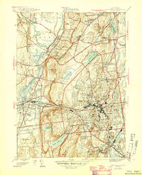
1953 Map of Bristol
USGS Topo · Published 1954About this map
The industrial and residential expansion of Bristol is documented in this 1953 revision, showing the city's dense urban core centered on the Pequabuck River and the New York New Haven and Hartford railroad line. The map captures a mix of civic and religious infrastructure, including several parochial schools like St Anne Sch and Emmanuel Sch, alongside local landmarks such as City Hall and the Memorial Town Forest.
Find a feature on this map
83 named features on this map. Tap any name to fly to it.
Don’t see what you’re looking for? This feature index may not catch every label — zoom into the map to look around manually.
Map Details
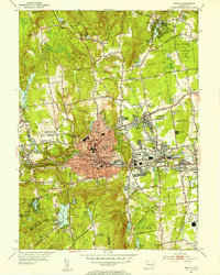
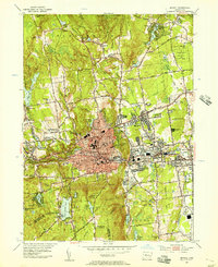
Editions of this 1953 Bristol Map
3 editions found
Other maps of this area

1892 · Winsted
USGS Topo · 1:62,500

1892 · Meriden
USGS Topo · 1:62,500

1892 · Granby
USGS Topo · 1:62,500

1893 · Waterbury
USGS Topo · 1:62,500

1893 · Meriden
USGS Topo · 1:62,500

1904 · Waterbury
USGS Topo · 1:62,500

1904 · Litchfield
USGS Topo · 1:125,000

1906 · Farmington
USGS Topo · 1:125,000
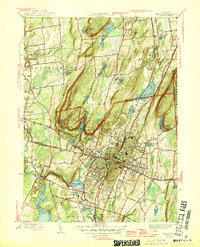
1946 · Meriden
USGS Topo · 1:31,680
1946 · New Britain
USGS Topo · 1:31,680