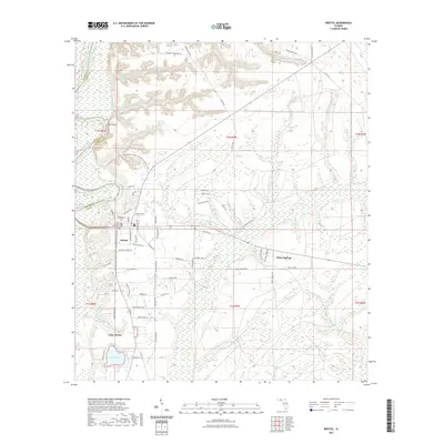
2021 Map of Bristol
USGS Topo · Published 2021About this map
The Apalachicola River carves the western boundary of this Liberty County landscape, where the dramatic elevation of Alum Bluff overlooks the water. This 2021 survey centers on the community of Bristol, the county seat, anchored by the Liberty County Courthouse and a network of local roads such as Main St and Rock Bluff Rd. The settlement pattern reflects a mix of small-town development and rural tracts, with local history preserved at sites like the Bristol Cem and the Meacham Cem near the central quadrangle.
Find a feature on this map
94 named features on this map. Tap any name to fly to it.
Don’t see what you’re looking for? This feature index may not catch every label — zoom into the map to look around manually.
Map Details
Editions of this 2021 Bristol Map
This is the sole edition of this map. No revisions or reprints were ever made.
Other maps of this area

1945 · Blountstown
USGS Topo · 1:31,680

1945 · Hosford
USGS Topo · 1:31,680

1945 · Estiffanulga
USGS Topo · 1:31,680

1945 · Bristol
USGS Topo · 1:31,680

1945 · Woods
USGS Topo · 1:31,680

1945 · Telogia
USGS Topo · 1:24,000

1946 · Telogia
USGS Topo · 1:31,680

1952 · Altha East
USGS Topo · 1:24,000

1954 · Tallahassee
USGS Topo · 1:250,000

1955 · Rock Bluff
USGS Topo · 1:24,000