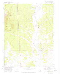
1971 Map of Bristol Range NE
USGS Topo · Published 1973About this map
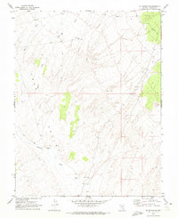
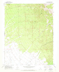
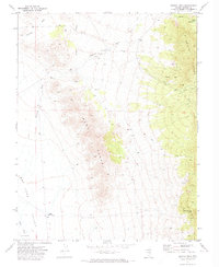
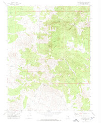
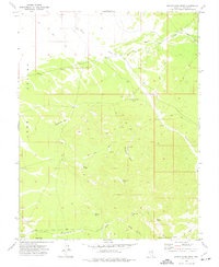
Lake Valley and the Fairview Range define this high-desert landscape in eastern Nevada as it was recorded in the early 1970s. The area is marked by a network of drainage systems, including the expansive Patterson Wash and its tributary Bob Hamilton Wash, which cut through the arid terrain. Human activity is sparse and focused on water management and resource extraction, evidenced by isolated features like the Dodge Well and Craw Creek Well.
Find a feature on this map
17 named features on this map. Tap any name to fly to it.
Don’t see what you’re looking for? This feature index may not catch every label — zoom into the map to look around manually.
Map Details
Editions of this 1971 Bristol Range NE Map
This is the sole edition of this map. No revisions or reprints were ever made.
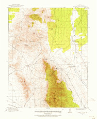
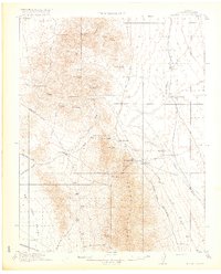
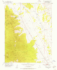
Other maps of this area
1915 · Bristol Range
USGS Topo · 1:62,500
1917 · Bristol Range
USGS Topo · 1:62,500
1953 · Bristol Range SE
USGS Topo · 1:24,000

1956 · Lund
USGS Topo · 1:250,000

1960 · Lund
USGS Topo · 1:250,000
1970 · Mt. Wilson SW
USGS Topo · 1:24,000
1970 · Mt. Wilson
USGS Topo · 1:24,000
1971 · Bristol Well
USGS Topo · 1:24,000
1971 · Fairview Peak
USGS Topo · 1:24,000
1973 · Schoolmarm Basin
USGS Topo · 1:24,000