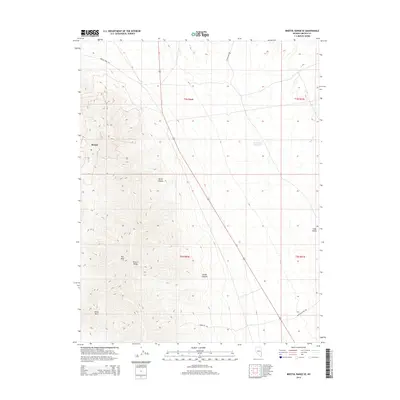
2014 Map of Bristol Range SE
USGS Topo · Published 2014About this map
Bristol stands as the primary point of interest in this high-desert landscape of Lincoln County, situated at the base of the dramatic Bristol Range. This 2014 survey documents a region defined by sharp elevation changes, where the western half is dominated by peak-and-canyon topography including Roe Peak and Blind Mtn. The transition from these heights into the more level expanse of Lake Valley to the east is marked by drainage features such as Burnt Canyon and Broad Canyon. Local water management is represented by Rockhouse Reservoir and the seasonal flow of Page Cr. The infrastructure reflects the area's mining and ranching heritage, with specialized routes like Bristol Mine Rd and Eight Mile Well Rd cutting across the arid terrain. This map captures the modern layout of these remote public and private lands, showing the network of local connectors that serve this corner of the Great Basin.
Find a feature on this map
18 named features on this map. Tap any name to fly to it.
Don’t see what you’re looking for? This feature index may not catch every label — zoom into the map to look around manually.
Map Details
Editions of this 2014 Bristol Range SE Map
This is the sole edition of this map. No revisions or reprints were ever made.
Other maps of this area

1885 · Pioche
USGS Topo · 1:250,000

1886 · Pioche
USGS Topo · 1:250,000

1915 · Bristol Range
USGS Topo · 1:62,500

1916 · Highland
USGS Topo · 1:62,500

1917 · Bristol Range
USGS Topo · 1:62,500

1918 · Highland
USGS Topo · 1:62,500

1921 · NW 1/4 Panaca
USGS Topo · 1:48,000

1953 · Highland Peak
USGS Topo · 1:24,000

1953 · Bristol Range SE
USGS Topo · 1:24,000

1953 · Pioche
USGS Topo · 1:24,000