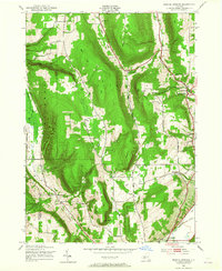
1943 Map of Bristol Springs
USGS Topo · Published 1965About this map
Gannett Hill and the surrounding Finger Lakes uplands define this 1940s landscape, where small agricultural settlements and rural schools are connected by winding valley roads. The survey captures a network of local communities including South Bristol, Bristol Springs, and Hunt Hollow, each supporting a numbered schoolhouse system from School No 1 to School No 11. Topographic features such as The Jumpoff and the steep Briggs Gully overlook the fertile corridors of Mud Creek and Naples Creek.
Find a feature on this map
45 named features on this map. Tap any name to fly to it.
Don’t see what you’re looking for? This feature index may not catch every label — zoom into the map to look around manually.
Map Details
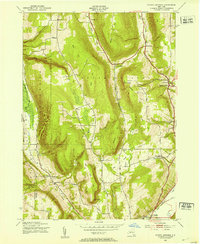
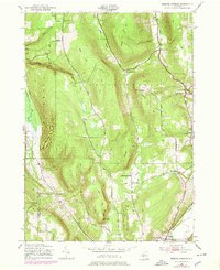
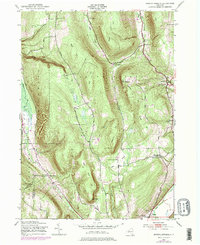
Editions of this 1943 Bristol Springs Map
4 editions found
Other maps of this area

1900 · Naples
USGS Topo · 1:62,500

1900 · Canandaigua
USGS Topo · 1:62,500

1901 · Honeoye
USGS Topo · 1:62,500

1902 · Wayland
USGS Topo · 1:62,500

1903 · Naples
USGS Topo · 1:62,500

1903 · Canandaigua
USGS Topo · 1:62,500

1904 · Wayland
USGS Topo · 1:62,500

1904 · Honeoye
USGS Topo · 1:62,500

1913 · Naples
USGS Topo · 1:62,500

1942 · Springwater
USGS Topo · 1:31,680