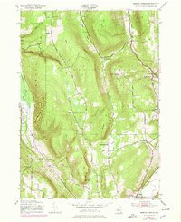
1943 Map of Bristol Springs
USGS Topo · Published 1978About this map
South Bristol Township is defined by its dramatic glacial topography, where deep valleys and steep hillsides separate small agricultural hamlets. This 1943 survey, updated with 1970s cultural data, shows a landscape transition as traditional farming and local schools like School No 11 and School No 3 coexist with emerging recreational features such as the County Park at The Jumpoff. The southern edge is anchored by the village of Naples, a hub for the Naples Branch Railroad and a cluster of Gas Wells.
Find a feature on this map
40 named features on this map. Tap any name to fly to it.
Don’t see what you’re looking for? This feature index may not catch every label — zoom into the map to look around manually.
Map Details
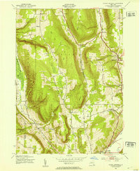
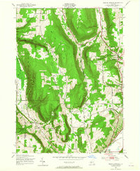
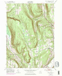
Editions of this 1943 Bristol Springs Map
4 editions found
Other maps of this area

1900 · Naples
USGS Topo · 1:62,500

1900 · Canandaigua
USGS Topo · 1:62,500

1901 · Honeoye
USGS Topo · 1:62,500

1902 · Wayland
USGS Topo · 1:62,500

1903 · Naples
USGS Topo · 1:62,500

1903 · Canandaigua
USGS Topo · 1:62,500

1904 · Wayland
USGS Topo · 1:62,500

1904 · Honeoye
USGS Topo · 1:62,500

1913 · Naples
USGS Topo · 1:62,500

1942 · Springwater
USGS Topo · 1:31,680