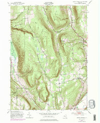
1943 Map of Bristol Springs
USGS Topo · Published 1978About this map
Honeoye Lake defines the western edge of this Ontario County landscape, where steep glacial topography creates dramatic elevation changes. The Finger Lakes region is captured here during the 1940s, revealing a rural network of schoolhouses and small settlements such as Bristol Springs and South Bristol. Local family names and community centers are anchored by landmarks like the Purdy Cem and the Hunt Hollow Cem, while five numbered schoolhouses, including School No 11 and School No 8, indicate the distribution of the population across the hills.
Find a feature on this map
57 named features on this map. Tap any name to fly to it.
Don’t see what you’re looking for? This feature index may not catch every label — zoom into the map to look around manually.
Map Details
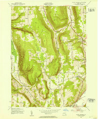
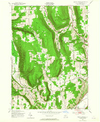
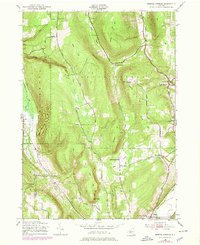
Editions of this 1943 Bristol Springs Map
4 editions found
Other maps of this area

1900 · Naples
USGS Topo · 1:62,500

1900 · Canandaigua
USGS Topo · 1:62,500

1901 · Honeoye
USGS Topo · 1:62,500

1902 · Wayland
USGS Topo · 1:62,500

1903 · Naples
USGS Topo · 1:62,500

1903 · Canandaigua
USGS Topo · 1:62,500

1904 · Wayland
USGS Topo · 1:62,500

1904 · Honeoye
USGS Topo · 1:62,500

1913 · Naples
USGS Topo · 1:62,500

1942 · Springwater
USGS Topo · 1:31,680