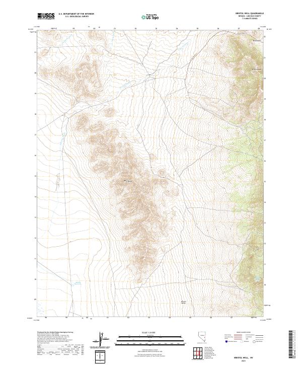
2021 Map of Bristol Well
USGS Topo · Published 2021About this map
Bristol Valley forms the central character of this Lincoln County landscape, as documented in a 2021 study. The topography is defined by the high ground of the West Range and the Bristol Range, where the narrow passage of Bristol Pass provides a transition between the northern valley and the surrounding high desert terrain. Water management and natural hydrology are evident through the presence of the Middle Reservoir and Blind Mountain Spring, while the ephemeral drainage system is marked by deep channels such as Silverhorn Wash, Scotty Wash, and Fairview Wash. The area maintains its rural, undeveloped character, with the Access Route Trl representing the primary means of traversal through the complex network of ridges and alluvial basins that characterize this portion of Nevada.
Find a feature on this map
16 named features on this map. Tap any name to fly to it.
Don’t see what you’re looking for? This feature index may not catch every label — zoom into the map to look around manually.
Map Details
Editions of this 2021 Bristol Well Map
This is the sole edition of this map. No revisions or reprints were ever made.
Other maps of this area

1885 · Pioche
USGS Topo · 1:250,000

1886 · Pioche
USGS Topo · 1:250,000

1915 · Bristol Range
USGS Topo · 1:62,500

1916 · Highland
USGS Topo · 1:62,500

1917 · Bristol Range
USGS Topo · 1:62,500

1918 · Highland
USGS Topo · 1:62,500

1953 · Highland Peak
USGS Topo · 1:24,000

1953 · Bristol Range SE
USGS Topo · 1:24,000

1954 · Caliente
USGS Topo · 1:250,000

1956 · Lund
USGS Topo · 1:250,000