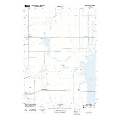
2010 Map of Bristolville
USGS Topo · Published 2010About this map
Mosquito Creek Lake dominates the eastern horizon of this Trumbull County landscape, where the waters of Mosquito Creek are managed by the Wildlife Pond 1306-004 Dam. This part of Ohio is defined by a dense network of family and community burial grounds, including Latimer Cemetery in the north and the Old Bristol Cemetery near Bristolville. The map captures a transition from traditional agricultural settlements like Lockwood and Greene Center to more modern recreational features such as the Bristolwood Golf Course.
Find a feature on this map
53 named features on this map. Tap any name to fly to it.
Don’t see what you’re looking for? This feature index may not catch every label — zoom into the map to look around manually.
Map Details
Editions of this 2010 Bristolville Map
This is the sole edition of this map. No revisions or reprints were ever made.
Other maps of this area

1905 · Andover
USGS Topo · 1:48,000

1905 · Bristolville
USGS Topo · 1:62,500

1905 · Jefferson
USGS Topo · 1:62,500

1907 · Andover
USGS Topo · 1:62,500

1907 · Kinsman
USGS Topo · 1:62,500

1907 · Bristolville
USGS Topo · 1:62,500

1907 · Jefferson
USGS Topo · 1:62,500

1950 · Cleveland
USGS Topo · 1:250,000

1952 · West Farmington
USGS Topo · 1:24,000

1952 · Southington
USGS Topo · 1:24,000
Featured Places
- Bristol, Bristol Township
- Mecca Township, OH
- Bloomfield, Bloomfield Township
- Bloomfield Township, OH
- Greene, Greene Township