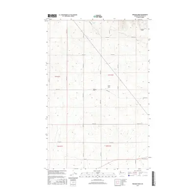
2017 Map of Broadax Draw
USGS Topo · Published 2017About this map
Broadax Draw defines the central topography of this Lincoln County landscape, carving through the high plains of Washington’s wheat country. The map documents a sparsely populated agricultural region near Wilbur, where the land is partitioned into large ranch holdings and sectioned by a grid of rural routes such as Birchill Rd N and Bodeau Rd N. Water sources like Broadax Spring and the drainage at Kaufman Canyon reveal the vital natural features that influenced early settlement and grazing patterns in this arid environment.
Find a feature on this map
26 named features on this map. Tap any name to fly to it.
Don’t see what you’re looking for? This feature index may not catch every label — zoom into the map to look around manually.
Map Details
Editions of this 2017 Broadax Draw Map
This is the sole edition of this map. No revisions or reprints were ever made.
Other maps of this area

1948 · Grand Coulee Dam
USGS Topo · 1:62,500

1948 · Wilbur
USGS Topo · 1:62,500

1950 · Wilbur
USGS Topo · 1:62,500

1950 · Grand Coulee Dam
USGS Topo · 1:62,500

1953 · Ritzville
USGS Topo · 1:250,000

1959 · Ritzville
USGS Topo · 1:250,000

1965 · Ritzville
USGS Topo · 1:250,000

1969 · Almira
USGS Topo · 1:24,000

1969 · Govan
USGS Topo · 1:24,000

1969 · Wagner Lake
USGS Topo · 1:24,000