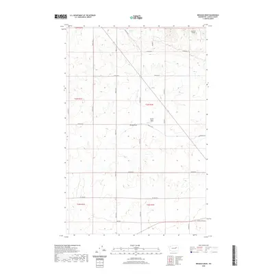
2020 Map of Broadax Draw
USGS Topo · Published 2020About this map
Broadax Draw and the surrounding plateau of Lincoln County define this landscape, where the agricultural rhythm of the Big Bend country is traced through a grid of rural roads and remote landings. Located north of Wilbur, the area is anchored by the Sheffels Ranch Airport, a private airstrip that speaks to the scale of modern ranching operations in this part of Washington. Water sources like Broadax Spring and the drainage at Kaufman Canyon provided the necessary relief for early settlers and livestock in an otherwise dry, high-prairie environment. The map details a network of family-named routes, including Hesseltine Rd, Bodeau Rd N, and Birchill Rd N, which delineate the section lines of the township and range system. This survey captures the region as a settled expanse of wheat and cattle country, connected by long gravel stretches like Jurgensen Rd E and Alderson Rd E.
Find a feature on this map
27 named features on this map. Tap any name to fly to it.
Don’t see what you’re looking for? This feature index may not catch every label — zoom into the map to look around manually.
Map Details
Editions of this 2020 Broadax Draw Map
This is the sole edition of this map. No revisions or reprints were ever made.
Other maps of this area

1948 · Grand Coulee Dam
USGS Topo · 1:62,500

1948 · Wilbur
USGS Topo · 1:62,500

1950 · Wilbur
USGS Topo · 1:62,500

1950 · Grand Coulee Dam
USGS Topo · 1:62,500

1953 · Ritzville
USGS Topo · 1:250,000

1959 · Ritzville
USGS Topo · 1:250,000

1965 · Ritzville
USGS Topo · 1:250,000

1969 · Almira
USGS Topo · 1:24,000

1969 · Govan
USGS Topo · 1:24,000

1969 · Wagner Lake
USGS Topo · 1:24,000