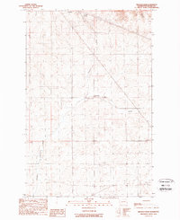
1989 Map of Broadax Draw
USGS Topo · Published 1989About this map
Hesseltine and Corbett sit within a high plateau landscape in Lincoln County, where the topography is defined by the gradual descent of Broadax Draw and Kaufman Canyon. This 1980s landscape shows the functional infrastructure of rural Washington, featuring both Wooden Pole Trans Lines and Steel Tower Trans Lines cutting across the terrain. Local activity is marked by scattered resources such as Broadax Spring and several industrial features, including a Gravel Pit and a small Landing Strip. The presence of a Windmill near the central drainage indicates a reliance on traditional water-pumping methods alongside modern utility corridors during this era.
Find a feature on this map
14 named features on this map. Tap any name to fly to it.
Don’t see what you’re looking for? This feature index may not catch every label — zoom into the map to look around manually.
Map Details
Editions of this 1989 Broadax Draw Map
This is the sole edition of this map. No revisions or reprints were ever made.
Other maps of this area

1948 · Grand Coulee Dam
USGS Topo · 1:62,500

1948 · Wilbur
USGS Topo · 1:62,500

1950 · Wilbur
USGS Topo · 1:62,500

1950 · Grand Coulee Dam
USGS Topo · 1:62,500

1953 · Ritzville
USGS Topo · 1:250,000

1959 · Ritzville
USGS Topo · 1:250,000

1965 · Ritzville
USGS Topo · 1:250,000

1969 · Almira
USGS Topo · 1:24,000

1969 · Govan
USGS Topo · 1:24,000

1969 · Wagner Lake
USGS Topo · 1:24,000