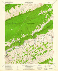
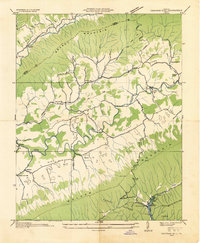
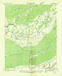
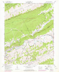
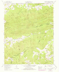
1958 Map of Broadford
USGS Topo · Published 1960This historical map portrays the area of Broadford in 1958, primarily covering Smyth County as well as portions of Tazewell County. Featuring a scale of 1:24000, this map provides a highly detailed snapshot of the terrain, roads, buildings, counties, and historical landmarks in the Broadford region at the time. Published in 1960, it is one of 5 known editions of this map due to revisions or reprints.
Find a feature on this map
71 named features on this map. Tap any name to fly to it.
Don’t see what you’re looking for? This feature index may not catch every label — zoom into the map to look around manually.
Map Details
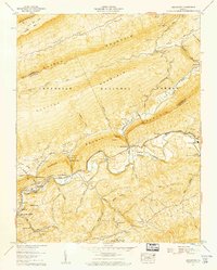
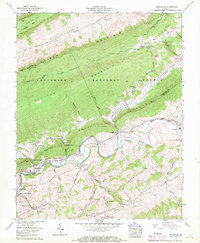
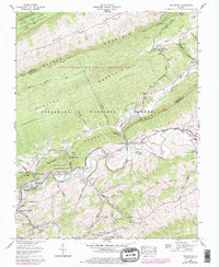
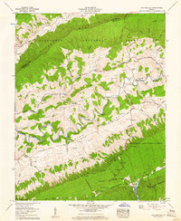
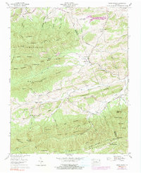
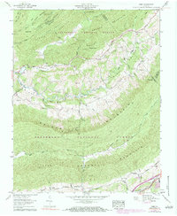
Editions of this 1958 Broadford Map
5 editions found
Historical Maps of Osborns Store Through Time
11 maps found
1934 Chatham Hill
Smyth County, VA
1935 Cedar Springs
Smyth County, VA

1935 Maccrady
Smyth County, VA
1935 Nebo
Smyth County, VA
1935 Whitetop Mountain
Smyth County, VA
1958 Broadford
Smyth County, VA
1958 Chatham Hill
Smyth County, VA
1959 Cedar Springs
Smyth County, VA
1959 Nebo
Smyth County, VA
1959 Whitetop Mountain
Smyth County, VA
2000 Whitetop Mountain
Smyth County, VA