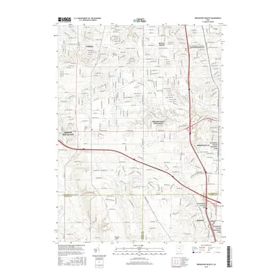
2016 Map of Broadview Heights
USGS Topo · Published 2016About this map
Cuyahoga Valley National Park defines the eastern and southern edges of this suburban landscape, preserving the wooded drainages and steep ravines of Chippewa Cr and Furnace Run. This 2016 survey documents the dense residential expansion of south Cleveland, where the borders of Parma, Seven Hills, and Broadview Heights converge. The terrain is marked by the prominent Hinckley Ridge to the south and the winding course of the E Br Rocky River.
Find a feature on this map
44 named features on this map. Tap any name to fly to it.
Don’t see what you’re looking for? This feature index may not catch every label — zoom into the map to look around manually.
Map Details
Editions of this 2016 Broadview Heights Map
This is the sole edition of this map. No revisions or reprints were ever made.
Other maps of this area

1902 · Berea
USGS Topo · 1:62,500

1903 · Cleveland
USGS Topo · 1:62,500

1903 · Akron
USGS Topo · 1:62,500

1904 · Berea
USGS Topo · 1:62,500

1904 · Medina
USGS Topo · 1:62,500

1905 · Akron
USGS Topo · 1:62,500

1906 · Medina
USGS Topo · 1:62,500

1950 · Cleveland
USGS Topo · 1:250,000

1953 · Shaker Heights
USGS Topo · 1:24,000

1953 · Broadview Heights
USGS Topo · 1:24,000