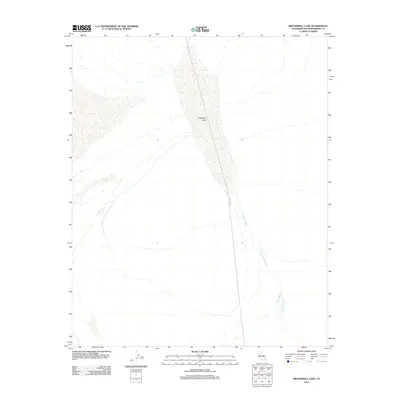
2012 Map of Broadwell Lake
USGS Topo · Published 2012About this map
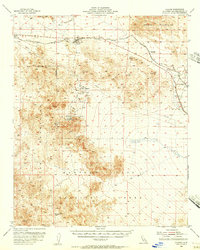
Broadwell Lake dominates this desert landscape, appearing as a prominent dry lake bed or playa in the center of this 2012 survey. The ephemeral nature of the Mojave terrain is evident in the network of dry washes that feed the basin, including Broadwell Wash which enters from the south and Argos Wash further east. These features suggest a landscape defined by rare, intense precipitation events that move sediment across the alluvial floor. Human impact on this remote section of San Bernardino County is minimal, represented primarily by the linear path of Crucero Rd cutting through the western portion of the lake bed. This road serves as a vital north-south link through the arid interior, connecting the sparse geography between distant mountain ranges.
Find a feature on this map
4 named features on this map. Tap any name to fly to it.
Don’t see what you’re looking for? This feature index may not catch every label — zoom into the map to look around manually.
Map Details
Editions of this 2012 Broadwell Lake Map
This is the sole edition of this map. No revisions or reprints were ever made.
Other maps of this area
1953 · San Bernardino
USGS Topo · 1:250,000
1955 · Ludlow
USGS Topo · 1:24,000
1955 · Ash Hill
USGS Topo · 1:24,000
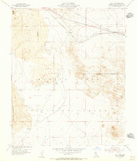
1955 · Lavic Lake
USGS Topo · 1:24,000
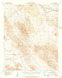
1955 · Lavic
USGS Topo · 1:62,500
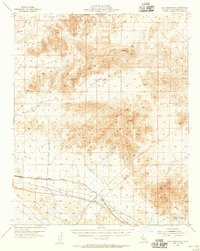
1955 · Cady Mountains
USGS Topo · 1:62,500
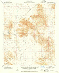
1955 · Broadwell Lake
USGS Topo · 1:62,500
1955 · Ludlow
USGS Topo · 1:62,500
1956 · San Bernardino
USGS Topo · 1:250,000
1957 · San Bernardino
USGS Topo · 1:250,000