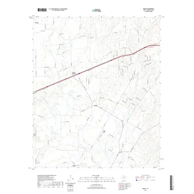
2019 Map of Brock
USGS Topo · Published 2019About this map
Grindstone Creek and Little Grindstone Creek carve through this central Parker County landscape, defining the rural character of Brock and its surrounding ranchlands. The area is a mix of traditional agriculture and modern residential development, anchored by locations like the McGee Ranch and the small airfield at Eagle Airport. Genealogists will find a significant concentration of burial grounds, including the Fairview Cem, Brashears Cem, and Hiner Cem, which are scattered among the ridges and seasonal drainages. In the south, the terrain descends toward the Brazos River at Stephens Bluff, while the northern portion is dominated by the corridor near Millsap and the transition at Brock Junction. This survey documents a community in flux, where legacy family names on landmarks meet newer developments like Tailspin Estates Airport.
Find a feature on this map
97 named features on this map. Tap any name to fly to it.
Don’t see what you’re looking for? This feature index may not catch every label — zoom into the map to look around manually.
Map Details
Editions of this 2019 Brock Map
This is the sole edition of this map. No revisions or reprints were ever made.
Other maps of this area

1891 · Weatherford
USGS Topo · 1:125,000

1891 · Palo Pinto
USGS Topo · 1:125,000

1893 · Weatherford
USGS Topo · 1:125,000

1918 · Palo Pinto
USGS Topo · 1:125,000

1924 · Weatherford 3-d
USGS Topo · 1:48,000

1927 · Mineral Wells
USGS Topo · 1:62,500

1931 · Dennis
USGS Topo · 1:62,500

1931 · Santo
USGS Topo · 1:62,500

1954 · Dallas
USGS Topo · 1:250,000

1954 · Abilene
USGS Topo · 1:250,000