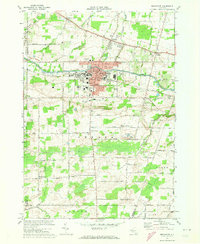
1971 Map of Brockport
USGS Topo · Published 1973About this map
Brockport stands as a significant hub of education and transport in the early 1970s, dominated by the sprawling campus of the State University of New York at Brockport. The historic Erie Canal bisects the village, paralleled by the Penn Central railroad, illustrating the enduring legacy of 19th-century infrastructure on the modern town layout. Beyond the urban center, the landscape of Sweden and Clarkson remains largely agricultural, dotted with rural settlements like Redman Corners and Garland. The map reveals a high concentration of institutional and community landmarks, from Lakeside Mem Hospital to a network of local schools including Barclay Sch and Ginther Sch. Family history is well-preserved through numerous burial grounds such as West Clarkson Cem and East Sweden Cem, while the southern reaches transitions into more open terrain near Northampton Park.
Find a feature on this map
60 named features on this map. Tap any name to fly to it.
Don’t see what you’re looking for? This feature index may not catch every label — zoom into the map to look around manually.
Map Details
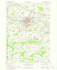
Editions of this 1971 Brockport Map
2 editions found
Other maps of this area

1897 · Albion
USGS Topo · 1:62,500

1897 · Oak Orchard
USGS Topo · 1:62,500

1899 · Hamlin
USGS Topo · 1:62,500

1899 · Brockport
USGS Topo · 1:62,500

1932 · Hamlin
USGS Topo · 1:24,000

1932 · Spencerport
USGS Topo · 1:24,000

1934 · Spencerport
USGS Topo · 1:24,000

1934 · Brockport
USGS Topo · 1:24,000
1934 · Hilton
USGS Topo · 1:24,000

1934 · Clifton
USGS Topo · 1:24,000