Loading...
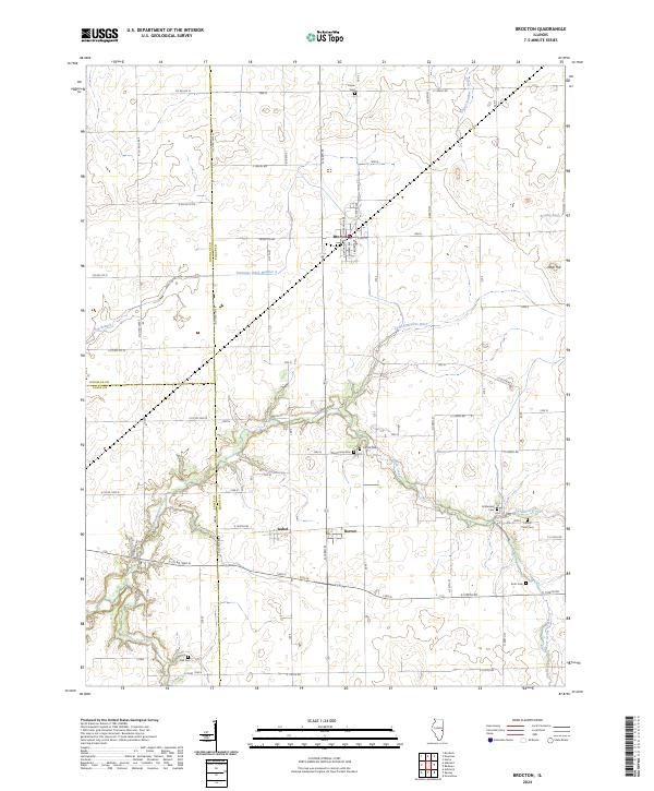
Loading map...2024 Map of Brocton
USGS Topo · Published 2024About this map
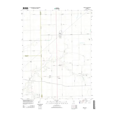
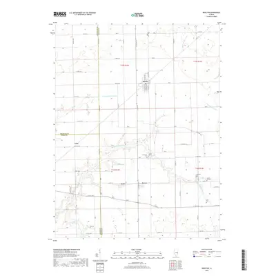
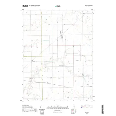
Brocton serves as a central junction where local commerce and agriculture meet in this corner of Edgar County. The landscape is defined by the winding course of the Little Embarras River and its various tributaries like Catfish Creek and Hog Branch. Small rural communities such as Isabel and Borton are connected by a precise grid of country roads, reflecting the organized township and range system that governs the Illinois prairie.
Find a feature on this map
69 named features on this map. Tap any name to fly to it.
Don’t see what you’re looking for? This feature index may not catch every label — zoom into the map to look around manually.
Map Details
Date Portrayed2024
Date Published2024
PublisherU.S. Geological Survey
Map TypeTopographic
Scale1:24,000
Physical Dimensions24 x 29 inches
Editions of this 2024 Brocton Map
This is the sole edition of this map. No revisions or reprints were ever made.
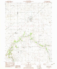
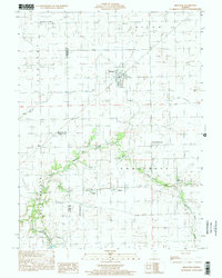
Historical Maps of Brocton Through Time
7 maps found
Featured Locations
Source Details
SourceU.S. Geological Survey
CopyrightPublic Domain