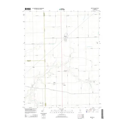
2015 Map of Brocton
USGS Topo · Published 2015About this map
Brocton anchors this corner of the Illinois prairie, situated at a crossroads of section-line roads and former rail corridors in Edgar County. The landscape is defined by the headwaters of the Little Embarras River, which winds south from its origin near the village, and the drainage patterns of Brushy Fork and Shiloh Number 2 Drain. This 2015 survey reveals a terrain thoroughly organized for agriculture, yet peppered with small, family-named burial grounds that speak to a long history of rural settlement.
Find a feature on this map
62 named features on this map. Tap any name to fly to it.
Don’t see what you’re looking for? This feature index may not catch every label — zoom into the map to look around manually.
Map Details
Editions of this 2015 Brocton Map
This is the sole edition of this map. No revisions or reprints were ever made.
Other maps of this area

1936 · Oakland
USGS Topo · 1:48,000

1942 · Oakland
USGS Topo · 1:62,500

1946 · Kansas
USGS Topo · 1:62,500

1949 · Kansas
USGS Topo · 1:62,500

1953 · Indianapolis
USGS Topo · 1:250,000

1956 · Indianapolis
USGS Topo · 1:250,000

1956 · Newman
USGS Topo · 1:62,500

1956 · Villa Grove
USGS Topo · 1:62,500

1957 · Indianapolis
USGS Topo · 1:250,000

1958 · Decatur
USGS Topo · 1:250,000