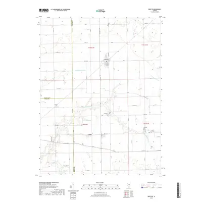
2018 Map of Brocton
USGS Topo · Published 2018About this map
Brocton sits at the heart of this East Central Illinois landscape, where the prairie grid of Edgar and Douglas counties meets a network of managed waterways and small settlements. The town’s street plan, including N Graham Ave and S Boyer Ave, reflects a classic Midwestern rail-aligned village structure. To the south and west, the smaller communities of Isabel, Borton, and Kings punctuate a landscape defined by agricultural drainage systems like Drainage Ditch Number 2 and the winding course of the Little Embarras River.
Find a feature on this map
66 named features on this map. Tap any name to fly to it.
Don’t see what you’re looking for? This feature index may not catch every label — zoom into the map to look around manually.
Map Details
Editions of this 2018 Brocton Map
This is the sole edition of this map. No revisions or reprints were ever made.
Other maps of this area

1936 · Oakland
USGS Topo · 1:48,000

1942 · Oakland
USGS Topo · 1:62,500

1946 · Kansas
USGS Topo · 1:62,500

1949 · Kansas
USGS Topo · 1:62,500

1953 · Indianapolis
USGS Topo · 1:250,000

1956 · Indianapolis
USGS Topo · 1:250,000

1956 · Newman
USGS Topo · 1:62,500

1956 · Villa Grove
USGS Topo · 1:62,500

1957 · Indianapolis
USGS Topo · 1:250,000

1958 · Decatur
USGS Topo · 1:250,000