Loading...
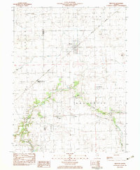
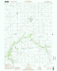
Loading map...1982 Map of Brocton
USGS Topo · Published 1983About this map
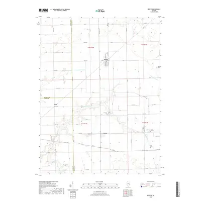
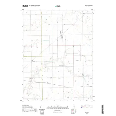
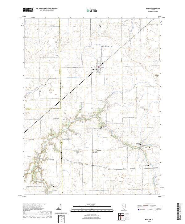
Brocton stands as the primary hub in this East Central Illinois landscape, situated at the intersection of the Norfolk and Western and Prairie Central railroads. These rail lines define the movement across the territory, connecting the central village to smaller settlements like Isabel and Borton. The area is characterized by a significant agricultural and rural infrastructure, including several private airfields such as Williams Landing Strip and Ewing Landing Strip.
Find a feature on this map
31 named features on this map. Tap any name to fly to it.
Don’t see what you’re looking for? This feature index may not catch every label — zoom into the map to look around manually.
Map Details
Date Portrayed1982
Date Published1983
PublisherU.S. Geological Survey
Map TypeTopographic
Scale1:24,000
Physical Dimensions22 x 26.8 inches
Editions of this 1982 Brocton Map
This is the sole edition of this map. No revisions or reprints were ever made.
Historical Maps of Brocton Through Time
7 maps found
Featured Locations
Source Details
SourceU.S. Geological Survey
CopyrightPublic Domain