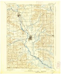
1893 Map of Brodhead
USGS Topo · Published 1937About this map
The Sugar River valley defines the geography of this late nineteenth-century landscape, providing a winding corridor for both water and rail transportation. Settled communities like Brodhead and Albany grew alongside the river and the tracks of the Chicago Milwaukee and Saint Paul Railroad, which branched through the territory to connect the interior of Green and Rock counties. The map captures a moment when the regional economy was tightly bound to these rail lines, with small hubs like Magnolia Station and Orfordville serving as vital nodes for agricultural transit. Away from the primary river valley, the terrain transitions into complex wetlands and marshes, notably Taylor Marsh, and is dissected by smaller tributaries such as Jordan Creek and Norwegian Creek. The southern edge of the survey is defined by the Wisconsin Illinois Boundary Line, marking the transition into the neighboring state just below the settlement of Avon.
Find a feature on this map
27 named features on this map. Tap any name to fly to it.
Don’t see what you’re looking for? This feature index may not catch every label — zoom into the map to look around manually.
Map Details
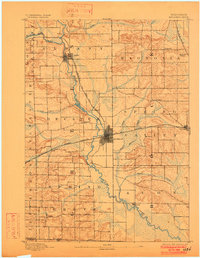
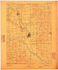
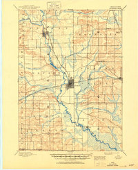
Editions of this 1893 Brodhead Map
5 editions found
Other maps of this area

1889 · Evansville
USGS Topo · 1:62,500

1890 · Stoughton
USGS Topo · 1:62,500

1891 · Janesville
USGS Topo · 1:62,500

1893 · Janesville
USGS Topo · 1:62,500

1893 · Brodhead
USGS Topo · 1:62,500

1894 · Evansville
USGS Topo · 1:62,500

1906 · Evansville
USGS Topo · 1:62,500

1918 · Rockford
USGS Topo · 1:62,500

1920 · Monroe
USGS Topo · 1:62,500

1922 · Monroe
USGS Topo · 1:62,500