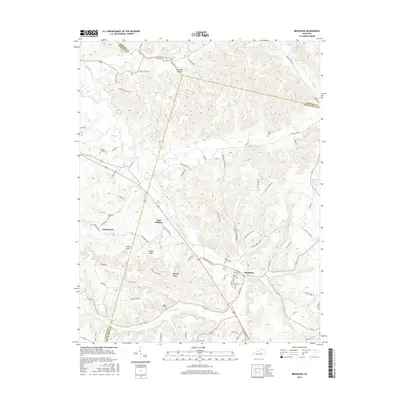
2016 Map of Brodhead
USGS Topo · Published 2016About this map
Brodhead serves as the primary hub in this portion of the Kentucky landscape, situated where the Dix River and its various tributaries like Grassy Br and Bowman Br converge. The terrain is defined by prominent elevations such as Millers Knob, Indian Knob, and Bowling Ridge, which dictate the winding paths of rural routes like Crab Orchard Rd and Bowling Ridge Rd.
Find a feature on this map
87 named features on this map. Tap any name to fly to it.
Don’t see what you’re looking for? This feature index may not catch every label — zoom into the map to look around manually.
Map Details
Editions of this 2016 Brodhead Map
This is the sole edition of this map. No revisions or reprints were ever made.
Other maps of this area

1892 · Richmond
USGS Topo · 1:125,000

1893 · London
USGS Topo · 1:125,000

1897 · Richmond
USGS Topo · 1:125,000

1897 · London
USGS Topo · 1:125,000

1905 · Harrodsburg
USGS Topo · 1:125,000

1952 · Berea
USGS Topo · 1:24,000

1952 · Crab Orchard
USGS Topo · 1:24,000

1952 · Paint Lick
USGS Topo · 1:24,000

1952 · Lancaster
USGS Topo · 1:24,000

1952 · Woodstock
USGS Topo · 1:24,000