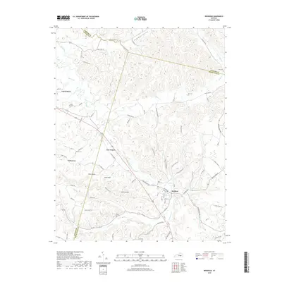
2019 Map of Brodhead
USGS Topo · Published 2019About this map
The Dix River and Copper Cr define a landscape of intricate ridges and hollows where the borders of Rockcastle, Lincoln, and Garrard counties meet. The town of Brodhead serves as a central hub for the surrounding rural communities, situated along the Little Negro Cr and the CS-2028 rail line. This 2019 survey documents a network of small settlements and family-named landmarks including Turkeytown, Gum Sulphur, and Bowling Ridge.
Find a feature on this map
86 named features on this map. Tap any name to fly to it.
Don’t see what you’re looking for? This feature index may not catch every label — zoom into the map to look around manually.
Map Details
Editions of this 2019 Brodhead Map
This is the sole edition of this map. No revisions or reprints were ever made.
Other maps of this area

1892 · Richmond
USGS Topo · 1:125,000

1893 · London
USGS Topo · 1:125,000

1897 · Richmond
USGS Topo · 1:125,000

1897 · London
USGS Topo · 1:125,000

1905 · Harrodsburg
USGS Topo · 1:125,000

1952 · Berea
USGS Topo · 1:24,000

1952 · Crab Orchard
USGS Topo · 1:24,000

1952 · Paint Lick
USGS Topo · 1:24,000

1952 · Lancaster
USGS Topo · 1:24,000

1952 · Woodstock
USGS Topo · 1:24,000