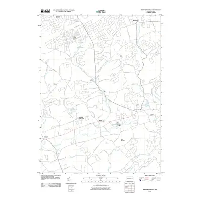
2010 Map of Brodheadsville
USGS Topo · Published 2010About this map
Brodheadsville serves as a central hub in this depiction of Chestnuthill Township, where the transition from residential clusters to the wooded slopes of the Pohopoco Mountains is clearly defined. The landscape is characterized by a high density of recreation and community sites, from Camp Trexler on Middle Creek to the Chestnut Lake Campground and the Seneca Hunt Camp. Water features heavily in the local geography, with numerous impoundments like Seneca Lake and Sun Valley Dam dotting the drainages of Pohopoco Creek and McMichael Creek.
Find a feature on this map
101 named features on this map. Tap any name to fly to it.
Don’t see what you’re looking for? This feature index may not catch every label — zoom into the map to look around manually.
Map Details
Editions of this 2010 Brodheadsville Map
This is the sole edition of this map. No revisions or reprints were ever made.
Other maps of this area

1914 · Wind Gap
USGS Topo · 1:62,500

1916 · Wind Gap
USGS Topo · 1:62,500

1919 · Pocono
USGS Topo · 1:62,500

1921 · Pocono
USGS Topo · 1:62,500

1922 · Mauch Chunk
USGS Topo · 1:62,500

1922 · Stoddartsville
USGS Topo · 1:62,500

1923 · Pocono
USGS Topo · 1:62,500

1924 · Stoddartsville
USGS Topo · 1:62,500

1924 · Mauch Chunk
USGS Topo · 1:62,500

1943 · Scranton
USGS Topo · 1:125,000
Featured Places
- Brodheadsville, Chestnuthill Township
- Indian Mountain Lake, PA
- Penn Forest Township, PA
- Sierra View, PA
- Jackson Township, PA