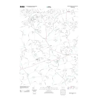
2013 Map of Brodheadsville
USGS Topo · Published 2013About this map
Brodheadsville and the surrounding villages of Effort and Gilbert form the heart of this Monroe County landscape as it appeared in the early 21st century. The map details a transition from the elevated Pohopco Mountains in the north toward the sprawling drainage basins of Pohopoco Cr and McMichael Cr. Local recreation and residential growth are evident in the concentration of named camps and lakeside developments, such as Camp Trexler, Seneca Hunt Camp, and Country Terrace Acres.
Find a feature on this map
34 named features on this map. Tap any name to fly to it.
Don’t see what you’re looking for? This feature index may not catch every label — zoom into the map to look around manually.
Map Details
Editions of this 2013 Brodheadsville Map
This is the sole edition of this map. No revisions or reprints were ever made.
Other maps of this area

1914 · Wind Gap
USGS Topo · 1:62,500

1916 · Wind Gap
USGS Topo · 1:62,500

1919 · Pocono
USGS Topo · 1:62,500

1921 · Pocono
USGS Topo · 1:62,500

1922 · Mauch Chunk
USGS Topo · 1:62,500

1922 · Stoddartsville
USGS Topo · 1:62,500

1923 · Pocono
USGS Topo · 1:62,500

1924 · Stoddartsville
USGS Topo · 1:62,500

1924 · Mauch Chunk
USGS Topo · 1:62,500

1943 · Scranton
USGS Topo · 1:125,000
Featured Places
- Brodheadsville, Chestnuthill Township
- Indian Mountain Lake, PA
- Penn Forest Township, PA
- Sierra View, PA
- Jackson Township, PA