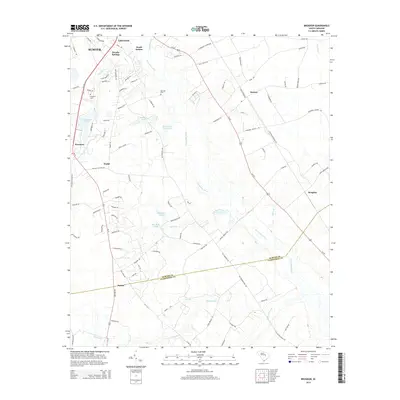
2014 Map of Brogdon
USGS Topo · Published 2014About this map
Pocotaligo River winds through the heart of this landscape south of South Sumter, defining a low-lying region of swamps and ponds. The area exhibits a pattern of rural residential growth and established agricultural lands, with several named ponds such as Des Champs Pond, McLaurin Pond, and Black Crest Farm Pond indicating local water management and recreation. Genealogical interest is found in local burial sites including Bradford Cem near Privateer and Marshall Cem further east.
Find a feature on this map
101 named features on this map. Tap any name to fly to it.
Don’t see what you’re looking for? This feature index may not catch every label — zoom into the map to look around manually.
Map Details
Editions of this 2014 Brogdon Map
This is the sole edition of this map. No revisions or reprints were ever made.
Other maps of this area

1920 · Mayesville
USGS Topo · 1:48,000

1920 · Manning
USGS Topo · 1:48,000

1921 · Manning
USGS Topo · 1:62,500

1921 · Mayesville
USGS Topo · 1:62,500

1943 · Mayesville
USGS Topo · 1:62,500

1944 · Manning
USGS Topo · 1:62,500

1946 · Sumter
USGS Topo · 1:62,500

1954 · Augusta
USGS Topo · 1:250,000

1957 · Sumter East
USGS Topo · 1:24,000

1957 · Sumter West
USGS Topo · 1:24,000