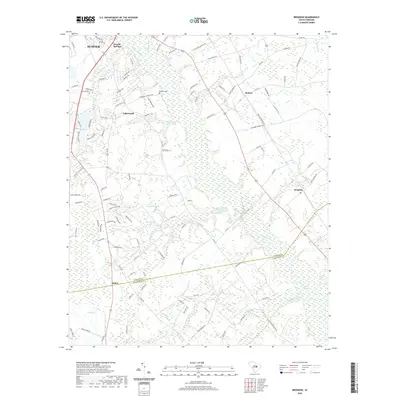
2020 Map of Brogdon
USGS Topo · Published 2020About this map
Pocalla Springs and Lakewood anchor the residential landscape south of Sumter in this contemporary coastal plain survey. The geography is defined by a low-lying network of wetlands and watercourses, including the wide Pocataligo River and the sprawling Sammy Swamp at the southern boundary. These drainage systems separate small rural clusters like Britton and Brogdon from the more developed outskirts of the city. The map reveals the intricate interplay between human settlement and the natural hydrology of the region, where family-named sites like Bradford Cem and Marshall Cem sit amidst a complex of ponds and branches, including Dogwood Lake and Black Crest Farm Pond. This modern layer shows the continued significance of historical boundaries, particularly the Sumter Co Clarendon Co line that cuts across the river basin.
Find a feature on this map
117 named features on this map. Tap any name to fly to it.
Don’t see what you’re looking for? This feature index may not catch every label — zoom into the map to look around manually.
Map Details
Editions of this 2020 Brogdon Map
This is the sole edition of this map. No revisions or reprints were ever made.
Other maps of this area

1920 · Mayesville
USGS Topo · 1:48,000

1920 · Manning
USGS Topo · 1:48,000

1921 · Manning
USGS Topo · 1:62,500

1921 · Mayesville
USGS Topo · 1:62,500

1943 · Mayesville
USGS Topo · 1:62,500

1944 · Manning
USGS Topo · 1:62,500

1946 · Sumter
USGS Topo · 1:62,500

1954 · Augusta
USGS Topo · 1:250,000

1957 · Sumter East
USGS Topo · 1:24,000

1957 · Sumter West
USGS Topo · 1:24,000