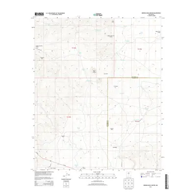
2013 Map of Broken Back Crater
USGS Topo · Published 2013About this map
Broken Back Crater defines this desert landscape on the border of Socorro and Lincoln counties, where volcanic geology meets the vast Tularosa Valley. The map details a high-altitude ranching and military environment, characterized by the expansive Chupadera Mesa and The Malpais lava flows. Settlement is sparse, represented by the Black Hills Ranch and the locality of Lovelace near the southern boundary. Life in this arid region revolves around an intricate network of water management features, with numerous named catchments such as Shorty Tank, Hidden Waterhole Tank, and Martos Tank scattered across the terrain. These tanks, along with various draws and canyons like Serno Draw and Lobo Canyon, trace the essential drainage patterns that have supported livestock and land use in this corner of New Mexico for generations.
Find a feature on this map
37 named features on this map. Tap any name to fly to it.
Don’t see what you’re looking for? This feature index may not catch every label — zoom into the map to look around manually.
Map Details
Editions of this 2013 Broken Back Crater Map
This is the sole edition of this map. No revisions or reprints were ever made.
Other maps of this area

1918 · Oscura Peak
USGS Topo · 1:125,000

1938 · Carrizozo
USGS Topo · 1:48,000

1943 · Carrizozo
USGS Topo · 1:62,500

1948 · Broken Back Crater
USGS Topo · 1:62,500

1948 · Chihuahua Ranch
USGS Topo · 1:62,500

1950 · Carrizozo
USGS Topo · 1:62,500

1950 · Little Black Peak
USGS Topo · 1:62,500

1954 · Tularosa
USGS Topo · 1:250,000

1955 · Roswell
USGS Topo · 1:250,000

1958 · Roswell
USGS Topo · 1:250,000