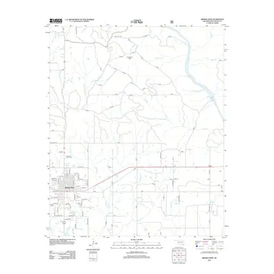
2013 Map of Broken Bow
USGS Topo · Published 2013About this map
Broken Bow serves as the focal point of this 2013 topographic study, illustrating the town's street grid and its position relative to the numerous waterways that define the McCurtain County landscape. The area is marked by a complex network of creeks, including Yanubbee Cr and the East Fork Lukfata Cr, which drain the timbered terrain toward the prominent Mountain Fork. To the north, Horseshoe Mtn rises above the lowlands, while the Broken Bow Lookout Tower stands as a landmark of the region's forestry management history.
Find a feature on this map
43 named features on this map. Tap any name to fly to it.
Don’t see what you’re looking for? This feature index may not catch every label — zoom into the map to look around manually.
Map Details
Editions of this 2013 Broken Bow Map
This is the sole edition of this map. No revisions or reprints were ever made.
Other maps of this area

1902 · Lukfata
USGS Topo · 1:125,000

1950 · Mcalester
USGS Topo · 1:250,000

1950 · Idabel
USGS Topo · 1:24,000

1950 · Shults
USGS Topo · 1:24,000

1950 · Goodwater
USGS Topo · 1:24,000

1951 · Idabel
USGS Topo · 1:24,000

1951 · Shults
USGS Topo · 1:24,000

1951 · Goodwater
USGS Topo · 1:24,000

1953 · Texarkana
USGS Topo · 1:250,000

1956 · Texarkana
USGS Topo · 1:250,000