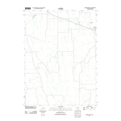
2011 Map of Broken Bow SE
USGS Topo · Published 2011About this map
Berwyn anchors the northeastern portion of this Custer County landscape, situated along the corridor of Hazelet Rd. The area is defined by the winding course of Mud Creek, which flows through the agrarian expanse of Dutchman Valley toward the settlement. To the west, the topography is marked by the presence of Carothers Lake and Carothers Dam, providing a focal point for local water management in an otherwise stream-carved prairie. Modern county travel is facilitated by routes such as Sumner Rd, which cuts north-south through the western sections. The map reveals a transition between the drainage of Deer Creek and the valley systems to the east, illustrating the rural infrastructure and land use patterns of central Nebraska in the early 21st century.
Find a feature on this map
8 named features on this map. Tap any name to fly to it.
Don’t see what you’re looking for? This feature index may not catch every label — zoom into the map to look around manually.
Map Details
Editions of this 2011 Broken Bow SE Map
This is the sole edition of this map. No revisions or reprints were ever made.
Other maps of this area

1951 · Broken Bow NE
USGS Topo · 1:24,000

1951 · Westerville
USGS Topo · 1:24,000

1951 · Broken Bow SW
USGS Topo · 1:24,000

1951 · Ansley
USGS Topo · 1:24,000

1951 · Broken Bow
USGS Topo · 1:24,000

1951 · Broken Bow SE
USGS Topo · 1:24,000

1951 · Eddyville NE
USGS Topo · 1:24,000

1951 · Eddyville NW
USGS Topo · 1:24,000

1951 · Mason City NW
USGS Topo · 1:24,000

1955 · Broken Bow
USGS Topo · 1:250,000