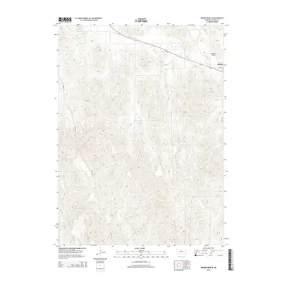
2014 Map of Broken Bow SE
USGS Topo · Published 2014About this map
Berwyn stands at the northeastern edge of this Custer County landscape, situated along the corridor of Ne-2 and Ne-92. The village is anchored by Hazlett St and Berwyn Rd, serving as a local hub within the broader agricultural and grazing lands of central Nebraska. The terrain is defined by the significant drainage of Mud Cr and Deer Cr, which carve through the high ground to the south and west of the settlement. To the northwest, Carothers Lake provides a distinct hydrological feature amidst the dissected uplands.
Find a feature on this map
10 named features on this map. Tap any name to fly to it.
Don’t see what you’re looking for? This feature index may not catch every label — zoom into the map to look around manually.
Map Details
Editions of this 2014 Broken Bow SE Map
This is the sole edition of this map. No revisions or reprints were ever made.
Other maps of this area

1951 · Broken Bow NE
USGS Topo · 1:24,000

1951 · Westerville
USGS Topo · 1:24,000

1951 · Broken Bow SW
USGS Topo · 1:24,000

1951 · Ansley
USGS Topo · 1:24,000

1951 · Broken Bow
USGS Topo · 1:24,000

1951 · Broken Bow SE
USGS Topo · 1:24,000

1951 · Eddyville NE
USGS Topo · 1:24,000

1951 · Eddyville NW
USGS Topo · 1:24,000

1951 · Mason City NW
USGS Topo · 1:24,000

1955 · Broken Bow
USGS Topo · 1:250,000