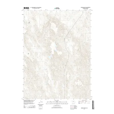
2014 Map of Broken Bow SW
USGS Topo · Published 2014About this map
Union Valley and the elevated plateau of Ryno Table characterize this section of central Nebraska, where the landscape is defined by the sharp transition between level upland plains and the drainage systems of the Sandhills region. The intricate contour work illustrates the erosional patterns leading into Ash Cr, a waterway that carves through the central portion of the quadrangle. Transport in the early 21st century follows a mix of modern state infrastructure and local rural routes, most notably Ne-21, which runs north-south across the dissected terrain. The placement of Ryno Rd and Sumner Rd provides a clear view of the section-line road grid that has dictated land use and property boundaries in Custer County since the homesteading era.
Find a feature on this map
7 named features on this map. Tap any name to fly to it.
Don’t see what you’re looking for? This feature index may not catch every label — zoom into the map to look around manually.
Map Details
Editions of this 2014 Broken Bow SW Map
This is the sole edition of this map. No revisions or reprints were ever made.
Other maps of this area

1951 · Broken Bow NE
USGS Topo · 1:24,000

1951 · Broken Bow SW
USGS Topo · 1:24,000

1951 · Broken Bow
USGS Topo · 1:24,000

1951 · Broken Bow SE
USGS Topo · 1:24,000

1951 · Merna
USGS Topo · 1:24,000

1951 · Eddyville NE
USGS Topo · 1:24,000

1951 · Callaway SE
USGS Topo · 1:24,000

1951 · Eddyville NW
USGS Topo · 1:24,000

1951 · Oconto
USGS Topo · 1:24,000

1955 · Broken Bow
USGS Topo · 1:250,000