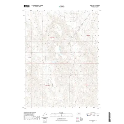
2017 Map of Broken Bow SW
USGS Topo · Published 2017About this map
Union Valley and the elevated flat of Ryno Table define the agricultural landscape of this Custer County corridor during the late 2010s. The terrain is characterized by the intricate drainage of Ash Cr, which carves through the undulating prairie to create the distinctive Ash Creek Canyon Rd route. The map documents a rural network where modern infrastructure like State Hwy 21 parallels the traces of Old Hwy 21, showing the evolution of local transit. Geologic markers such as Britten Spr indicate the vital water sources that supported early settlement in this section of the Nebraska loess hills. These labels provide a clear view of how land use and topography dictated the placement of homesteads and connecting routes like Ryno Rd and Sumner Rd.
Find a feature on this map
21 named features on this map. Tap any name to fly to it.
Don’t see what you’re looking for? This feature index may not catch every label — zoom into the map to look around manually.
Map Details
Editions of this 2017 Broken Bow SW Map
This is the sole edition of this map. No revisions or reprints were ever made.
Other maps of this area

1951 · Broken Bow NE
USGS Topo · 1:24,000

1951 · Broken Bow SW
USGS Topo · 1:24,000

1951 · Broken Bow
USGS Topo · 1:24,000

1951 · Broken Bow SE
USGS Topo · 1:24,000

1951 · Merna
USGS Topo · 1:24,000

1951 · Eddyville NE
USGS Topo · 1:24,000

1951 · Callaway SE
USGS Topo · 1:24,000

1951 · Eddyville NW
USGS Topo · 1:24,000

1951 · Oconto
USGS Topo · 1:24,000

1955 · Broken Bow
USGS Topo · 1:250,000