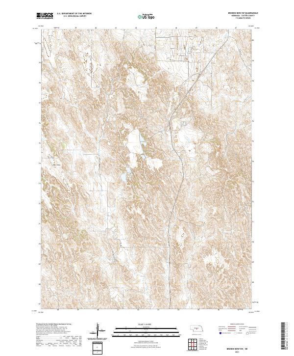
2021 Map of Broken Bow SW
USGS Topo · Published 2021About this map
Ryno Table dominates the western portion of this landscape, its flat upland surface marked by local routes like Ryno Rd. The terrain is characterized by a series of north-south canyons and drainages, most notably Ash Cr, which is accessible via Ash Creek Canyon Rd. This rugged portion of Custer County is further defined by the Union Valley in the northwest, a topographic depression that cuts through the loess hills. Water sources are scarce in this semi-arid environment, making Britten Spr a significant landmark for local history and ranching. The transport network is anchored by Old Hwy 2, which follows the natural contours of the land through the eastern half of the survey, connecting the rural sections of t16n r21w and t15n r20w.
Find a feature on this map
20 named features on this map. Tap any name to fly to it.
Don’t see what you’re looking for? This feature index may not catch every label — zoom into the map to look around manually.
Map Details
Editions of this 2021 Broken Bow SW Map
This is the sole edition of this map. No revisions or reprints were ever made.
Other maps of this area

1951 · Broken Bow NE
USGS Topo · 1:24,000

1951 · Broken Bow SW
USGS Topo · 1:24,000

1951 · Broken Bow
USGS Topo · 1:24,000

1951 · Broken Bow SE
USGS Topo · 1:24,000

1951 · Merna
USGS Topo · 1:24,000

1951 · Eddyville NE
USGS Topo · 1:24,000

1951 · Callaway SE
USGS Topo · 1:24,000

1951 · Eddyville NW
USGS Topo · 1:24,000

1951 · Oconto
USGS Topo · 1:24,000

1955 · Broken Bow
USGS Topo · 1:250,000