1976 Map of Broken Bow SW
USGS Topo · Published 1976About this map
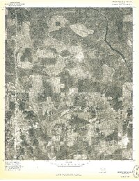
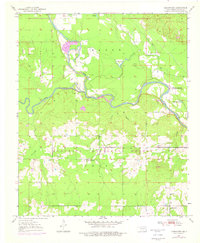
Broken Bow serves as the primary urban center in this 1976 orthophotoquad, which captures the McCurtain County landscape through direct aerial imagery rather than traditional line drawing. The gridded streets of the settlement contrast sharply with the surrounding timberlands and agricultural clearings. To the east, the winding course of the Mountain Fork river cuts through the terrain, illustrating the natural drainage patterns that have historically shaped land use in this part of southeastern Oklahoma. The high-contrast imagery highlights the patchwork of forest management and field cultivation that defined the local economy during the mid-1970s. This specific survey, produced as an advance print, emphasizes the transition between the concentrated development of the town and the expansive, wooded river valley.
Find a feature on this map
2 named features on this map. Tap any name to fly to it.
Don’t see what you’re looking for? This feature index may not catch every label — zoom into the map to look around manually.
Map Details
Editions of this 1976 Broken Bow SW Map
This is the sole edition of this map. No revisions or reprints were ever made.
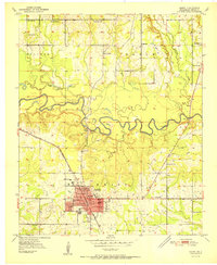
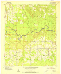
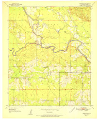
Other maps of this area
1902 · Lukfata
USGS Topo · 1:125,000

1950 · Mcalester
USGS Topo · 1:250,000
1950 · Idabel
USGS Topo · 1:24,000
1950 · Shults
USGS Topo · 1:24,000
1950 · Goodwater
USGS Topo · 1:24,000
1951 · Idabel
USGS Topo · 1:24,000
1951 · Shults
USGS Topo · 1:24,000
1951 · Goodwater
USGS Topo · 1:24,000

1953 · Texarkana
USGS Topo · 1:250,000

1956 · Texarkana
USGS Topo · 1:250,000