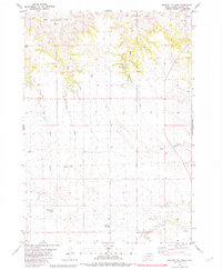
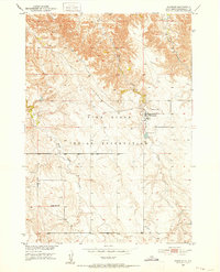
1981 Map of Broken Leg Dam
USGS Topo · Published 1981About this map
Broken Leg Dam and several water-management structures characterize this stretch of the Pine Ridge Indian Reservation during the mid-1970s. The landscape is defined by a series of drainage basins, including the West Cottonwood Creek Basin, East Cottonwood Creek Basin, and Pass Creek Basin. These natural depressions guide the flow of seasonal waterways like Long Creek and Hay Creek.
Find a feature on this map
17 named features on this map. Tap any name to fly to it.
Don’t see what you’re looking for? This feature index may not catch every label — zoom into the map to look around manually.
Map Details
Editions of this 1981 Broken Leg Dam Map
This is the sole edition of this map. No revisions or reprints were ever made.
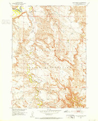
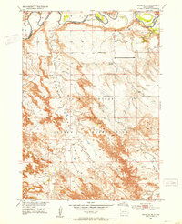
Other maps of this area
1950 · Wanblee
USGS Topo · 1:24,000

1951 · Wanblee NW
USGS Topo · 1:24,000
1951 · Pass Creek NW
USGS Topo · 1:24,000
1951 · Wanblee NE
USGS Topo · 1:24,000

1955 · Martin
USGS Topo · 1:250,000

1958 · Martin
USGS Topo · 1:250,000

1980 · Kadoka
USGS Topo · 1:100,000

1981 · Long Valley
USGS Topo · 1:25,000

1981 · Short Bow Creek
USGS Topo · 1:25,000

1981 · Buzzard Butte
USGS Topo · 1:25,000