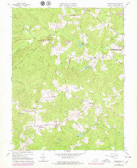
1966 Map of Brokenburg
USGS Topo · Published 1979About this map
Todds Tavern and Brokenburg anchor this mid-1960s landscape, where several rural road junctions preserved nineteenth-century community names. The Po River and Ta River wind through the terrain, with historical transit corridors like Catharpin Road and Rolling Road connecting small crossroads settlements.
Find a feature on this map
39 named features on this map. Tap any name to fly to it.
Don’t see what you’re looking for? This feature index may not catch every label — zoom into the map to look around manually.
Map Details
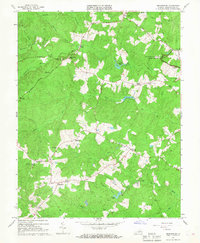
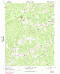
Editions of this 1966 Brokenburg Map
3 editions found
Other maps of this area

1887 · Spottsylvania
USGS Topo · 1:125,000

1892 · Spottsylvania
USGS Topo · 1:125,000

1942 · Ladysmith
USGS Topo · 1:31,680

1942 · Partlow
USGS Topo · 1:31,680

1942 · Belmont
USGS Topo · 1:31,680

1942 · Contrary Creek
USGS Topo · 1:31,680

1942 · Spotsylania
USGS Topo · 1:31,680

1942 · Brokenburg
USGS Topo · 1:31,680

1943 · Chancellorsville
USGS Topo · 1:24,000

1943 · Salem Church
USGS Topo · 1:24,000