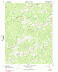
1966 Map of Brokenburg
USGS Topo · Published 1985About this map
Civil War history and rural crossroads define this portion of Spotsylvania County, particularly within the Fredericksburg-Spotsylvania National Military Park. The landscape preserves remnants of conflict, specifically several sections of Battle Trench located near the Po River and Brock Road. These defensive works stand in contrast to the quiet agricultural settlements of the mid-20th century, such as Brokenburg, Todds Tavern, and Margo.
Find a feature on this map
41 named features on this map. Tap any name to fly to it.
Don’t see what you’re looking for? This feature index may not catch every label — zoom into the map to look around manually.
Map Details
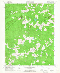
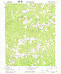
Editions of this 1966 Brokenburg Map
3 editions found
Other maps of this area

1887 · Spottsylvania
USGS Topo · 1:125,000

1892 · Spottsylvania
USGS Topo · 1:125,000

1942 · Ladysmith
USGS Topo · 1:31,680

1942 · Partlow
USGS Topo · 1:31,680

1942 · Belmont
USGS Topo · 1:31,680

1942 · Contrary Creek
USGS Topo · 1:31,680

1942 · Spotsylania
USGS Topo · 1:31,680

1942 · Brokenburg
USGS Topo · 1:31,680

1943 · Chancellorsville
USGS Topo · 1:24,000

1943 · Salem Church
USGS Topo · 1:24,000