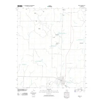
2010 Map of Bronte
USGS Topo · Published 2010About this map
Bronte serves as the primary hub for this West Texas landscape, where the town site is bounded by the winding course of Kickapoo Creek and the shores of Old City Lake. The area's history is anchored by the historic site of Fort Chadbourne and its namesake Fort Chadbourne Cemetery to the north. This 2010 survey highlights a region shaped by petroleum extraction and water management, with the Rawlings Oil Field and Bronte Oil Field marking the industrial presence.
Find a feature on this map
46 named features on this map. Tap any name to fly to it.
Don’t see what you’re looking for? This feature index may not catch every label — zoom into the map to look around manually.
Map Details
Editions of this 2010 Bronte Map
This is the sole edition of this map. No revisions or reprints were ever made.
Other maps of this area

1891 · Hayrick
USGS Topo · 1:125,000

1893 · Sweetwater
USGS Topo · 1:125,000

1894 · Hayrick
USGS Topo · 1:125,000

1921 · Bronte
USGS Topo · 1:31,680

1921 · Maverick
USGS Topo · 1:31,680

1921 · Mays School
USGS Topo · 1:31,680

1954 · Big Spring
USGS Topo · 1:250,000

1954 · San Angelo
USGS Topo · 1:250,000

1958 · San Angelo
USGS Topo · 1:250,000

1958 · Big Spring
USGS Topo · 1:250,000