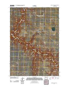
2011 Map of Bronx Canyon
USGS Topo · Published 2011About this map
Finnegan Creek and Buck Hollow Creek define the drainage patterns of this high-plateau landscape in Wasco County. The terrain is deeply incised by a network of steep draws and canyons, including its namesake Bronx Canyon, as well as Paradise Canyon and Golden Canyon in the southeastern corner. This 2011 survey reveals a landscape largely shaped by ranching and rural access, with local movement facilitated by named corridors such as Finnegan Rd and Wilson Rd. Small impoundments like Bibby Pond are vital features in this arid environment. The map provides a detailed view of family-named landmarks such as Bauman Draw, Karlen Draw, and Rogers Canyon, reflecting the generational footprint of land use in north-central Oregon.
Find a feature on this map
23 named features on this map. Tap any name to fly to it.
Don’t see what you’re looking for? This feature index may not catch every label — zoom into the map to look around manually.
Map Details
Editions of this 2011 Bronx Canyon Map
This is the sole edition of this map. No revisions or reprints were ever made.
Other maps of this area

1953 · The Dalles
USGS Topo · 1:250,000

1956 · The Dalles
USGS Topo · 1:250,000

1957 · The Dalles
USGS Topo · 1:250,000

1962 · Sinamox
USGS Topo · 1:24,000

1962 · Grass Valley
USGS Topo · 1:24,000

1970 · Kent
USGS Topo · 1:24,000

1970 · Macken Canyon
USGS Topo · 1:24,000

1970 · Rosebush
USGS Topo · 1:24,000
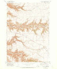
1971 · Dead Dog Canyon
USGS Topo · 1:24,000
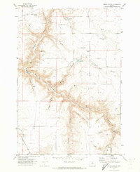
1971 · Bronx Canyon
USGS Topo · 1:24,000