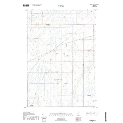
2019 Map of Brook Park
USGS Topo · Published 2019About this map
The low-lying wetlands of eastern Minnesota define the landscape around the village of Brook Park. This region is characterized by the meandering path of Pokegama Cr, which winds through a complex network of marshes and seasonal waters. The map illustrates a rural area where the grid of sections is heavily influenced by the natural hydrology, resulting in a unique pattern of roads like Cross Park Rd and Brook Park Rd that must navigate the saturated ground.
Find a feature on this map
57 named features on this map. Tap any name to fly to it.
Don’t see what you’re looking for? This feature index may not catch every label — zoom into the map to look around manually.
Map Details
Editions of this 2019 Brook Park Map
This is the sole edition of this map. No revisions or reprints were ever made.
Other maps of this area

1953 · Duluth
USGS Topo · 1:250,000

1953 · Stillwater
USGS Topo · 1:250,000

1955 · Stillwater
USGS Topo · 1:250,000

1958 · Stillwater
USGS Topo · 1:250,000

1958 · Duluth
USGS Topo · 1:250,000

1961 · Sandstone
USGS Topo · 1:62,500

1961 · Brook Park
USGS Topo · 1:62,500

1961 · Pine City
USGS Topo · 1:62,500

1965 · Stillwater
USGS Topo · 1:250,000

1968 · Pomroy Lake
USGS Topo · 1:24,000