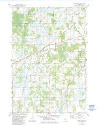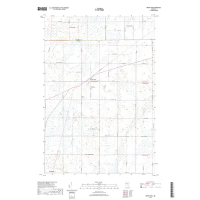
1961 Map of Brook Park
USGS Topo · Published 1980About this map
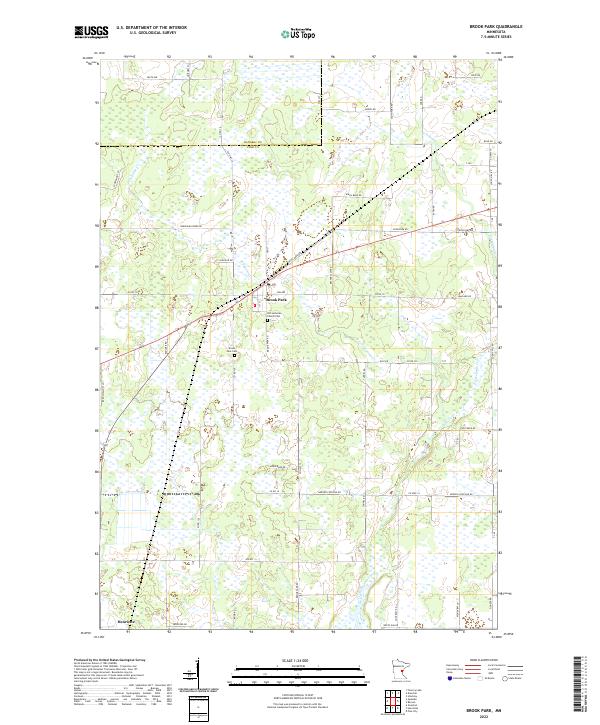
The Great Northern railway forms the backbone of development through this portion of Kanabec and Pine counties, connecting several trackside settlements. The villages of Brook Park, Quamba, Henriette, and Grasston appear as active centers of commerce and community, each punctuated by civic infrastructure such as the Brook Park Cem and local Townhall locations. The landscape is defined by the winding course of the Snake River and the significant basin of Pokegama Lake, which features notable landmarks like the St Gerard Mission House and Tuxedo Bar along its shores.
Find a feature on this map
43 named features on this map. Tap any name to fly to it.
Don’t see what you’re looking for? This feature index may not catch every label — zoom into the map to look around manually.
Map Details
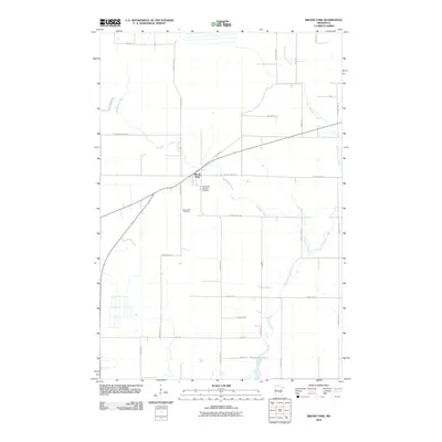
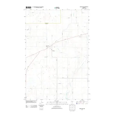
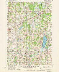
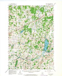
Editions of this 1961 Brook Park Map
2 editions found
Historical Maps of Rock Creek Through Time
7 maps found