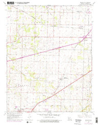
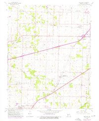
1960 Map of Brookline
USGS Topo · Published 1976About this map
St Louis San Francisco railroad lines anchor the geography of this Greene County region, connecting the burgeoning community of Republic to the smaller settlements of Elwood and Haseltine. The landscape is a mix of agricultural fields and early suburban expansion, with infrastructure like the Springfield Municipal Airport and Microwave Towers signaling the era's modernization. Significant local history is preserved in the numerous burial grounds scattered throughout the townships, including Evergreen Cem, Harrington Cem, and the White Chapel Memorial Gardens Cemetery. Water sources such as Wilson Creek, Pond Creek, and Dailey Spring drain the varied terrain, which also shows signs of industry at a local Quarry. The settlement at Brookline (Brookline Station P O) serves as a notable landmark for genealogists tracing families along the rail corridors southwest of the city.
Find a feature on this map
32 named features on this map. Tap any name to fly to it.
Don’t see what you’re looking for? This feature index may not catch every label — zoom into the map to look around manually.
Map Details
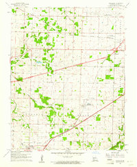
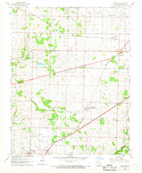
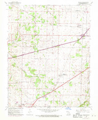
Editions of this 1960 Brookline Map
5 editions found
Other maps of this area

1884 · Springfield
USGS Topo · 1:125,000

1886 · Greenfield
USGS Topo · 1:125,000

1886 · Springfield
USGS Topo · 1:125,000

1888 · Greenfield
USGS Topo · 1:125,000

1919 · Halltown
USGS Topo · 1:62,500

1935 · Springfield
USGS Topo · 1:24,000

1936 · Brookline
USGS Topo · 1:24,000

1948 · Willard
USGS Topo · 1:24,000

1948 · Ebenezer
USGS Topo · 1:24,000

1954 · Springfield
USGS Topo · 1:250,000